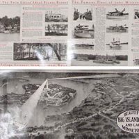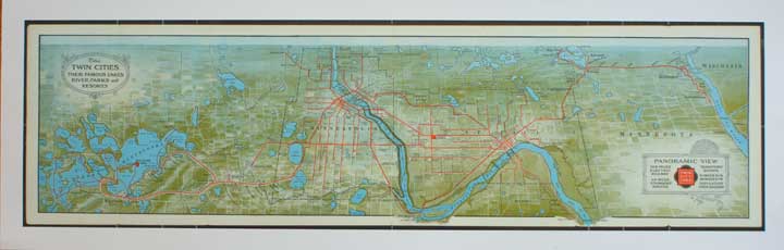
Description
This is an 11 x 34 inch reproduction of a 1909 map entitled: The Twin Cities: Their Famous Lakes Rivers, Parks and Resorts. Originally published by The Matthews-Northrup Works of Buffalo, NY, it shows a panoramic view of the Twin Cities and its streetcars lines from Lake St. Croix on the east to Lake Minnetonka on the west. Printed in Minnesota on heavy 80# Gusto Gloss Cover paper.